

Kundala Lake & Top Station
Kundale Lake, Kannan Devan Hills, India
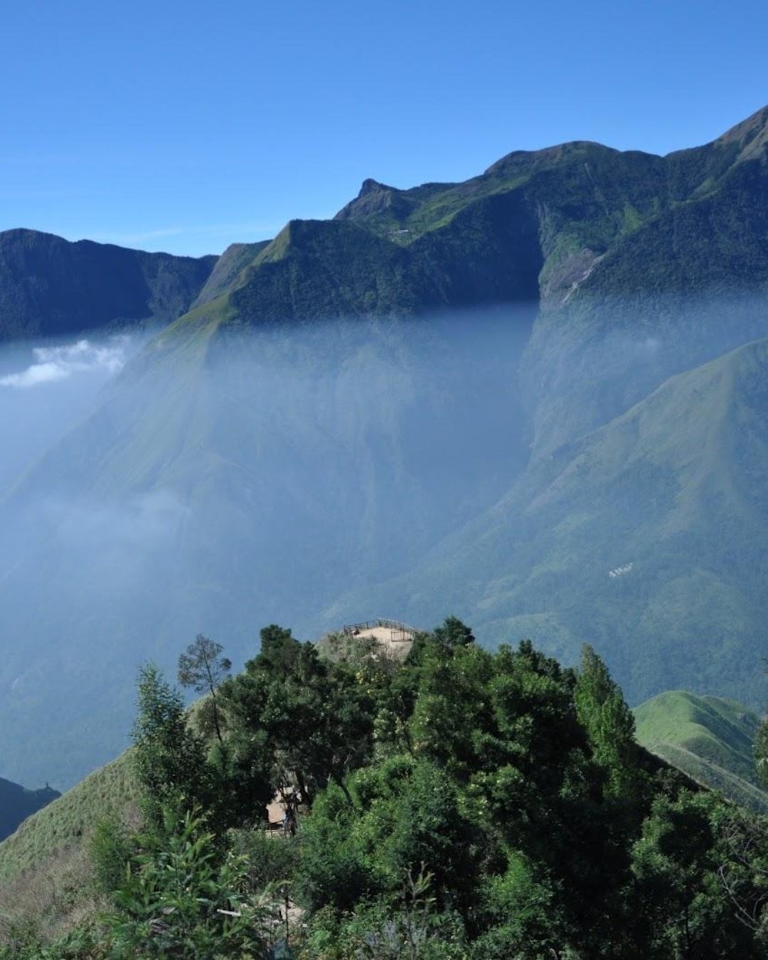
You've probably seen the photo. The land just ends — a green escarpment dropping away and the Tamil Nadu plains spread out two thousand metres below, hazy and enormous, like looking out of a plane. So you finish breakfast, drive an hour up, pay at the gate, walk to the rail — and see white. Solid, featureless white. Someone tells you it's "usually clear," you wait twenty minutes, it gets whiter, and you drive an hour back down having photographed a cloud.
That wasn't bad luck. That's what Top Station does, most days, by mid-morning.
Let's fix that. Here's how Kundala and Top Station actually work, and how to get it right the first time.
Why first light, and not any other hour
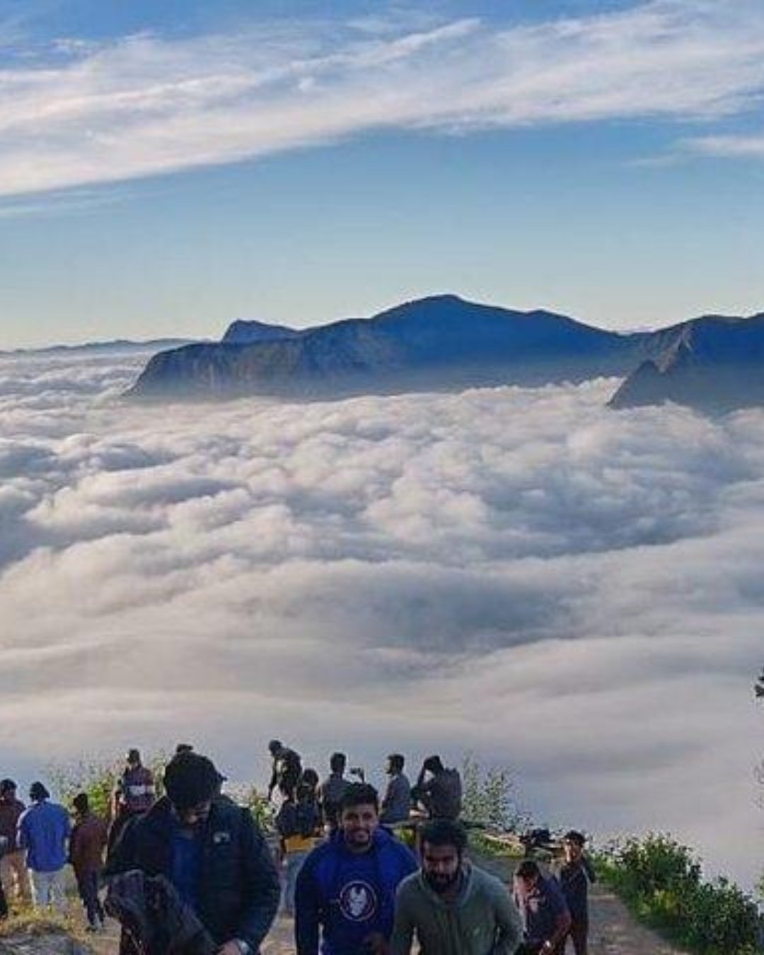
Top Station sits on the lip of the escarpment at around 1,700 metres, with the plains dropping away in front of it. As the sun warms those plains, the air over them rises, hits the wall of the Ghats, cools, and condenses. The cloud comes up at you from below and fills the view from the bottom.
It's not weather. It's the terrain, and it happens on ordinary days. Dawn is clear, seven is usually clear, by nine it's thickening, and from ten onward you're mostly looking at soup. That's why this stop goes first and everything else on that road bends around it. Leave Munnar around six, and stop at Kundala on the way back down, not on the way up.
What you'll actually see
One road out of Munnar strings these together — Mattupetty, Echo Point, Kundala, Top Station, about 32 km end to end:
The escarpment — the whole reason you came. Ghats falling away, Theni district laid out beneath you.
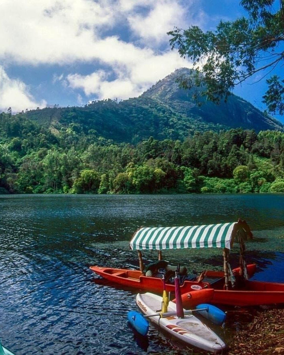
Kundala Lake — a reservoir in a fold of the hills, with shikara and pedal boats. Better on the way down, once the counter's open.
The ropeway remains — Top Station is a literal name. It was the upper terminus of the old Kundala Valley line, where tea was transferred to a ropeway and sent down to Bottom Station on the plains.
Vattavada — the vegetable-farming valley beyond, if you've got a spare half-day.
Neelakurinji — the hills here flower purple once every twelve years. The next bloom is expected around 2030. Not before. Anyone selling it sooner is selling you something else.
Take a proper jacket, not a layer. This is the highest, windiest, most exposed point of your trip, and at six in the morning it bites.
And put the phone down for the first minute at the rail. Travellers who get here early will tell you the same thing: the drop doesn't photograph — there's nothing in the frame to give it scale, so two thousand metres comes out looking like a field. Just stand and look at it. The air moving up the face, the plains going gold, the sheer distance of it — that's the part the photos never quite catch.
Pro tip: Do the whole road in one direction, in the right order — Echo Point at dawn, Top Station by seven, then Kundala and Mattupetty on the way back as the boating opens. Most drivers run it the other way because it matches the map, and it costs you the only view that's time-sensitive. Say so before you set off. And if you wake to a clear cold sky, go; if it's already grey at six, save the drive.
The mistakes that ruin it
Most first-timers trip over the same few things. They go after breakfast and see nothing. They let the driver run the standard circuit and reach Top Station last, at eleven, at its worst. Or they wait at the rail for an hour expecting it to "clear," which is backwards — it clears in the morning and closes as the day goes on.
The easy fix is to have the day built around the one stop that can't wait.
Ready to see it for yourself?
Top Station at dawn is the moment most travellers came for and don't get. Get the hour and the order right, and it's effortless.
Want it handled end to end — the early start, the right order, the view actually there when you arrive? Browse our Munnar Tour Packages, where the high-range run comes built in, along with Eravikulam, the tea factory and the rest. Pick your dates and we'll take care of the timing.